Flight Area Disentis
Please note that the Turnpoint-Map, Waypoints and Airspace will be updated before the event.
Download
Map
Waypoints
Airspace-Files
- Airspace Wildlife in different formats (Feet, meters, .faf)
- Airspace Wildlife in feet
- Airspace Wildlife in meters
- Airspace Wildlife for Flytec (.faf)
*X00 = general max. flight height which is allowed in this competition.
Make Waypoints and Airspace visible:
http://pottyplace.com/waypts
Recalculate any format of coordinates to an other one
Main Take Off Gendusas
Red = controlled Take Off if neccessairy, dark Red = carpets. Blue (below the road!) = free take off at any time.
Very nice Webcams, Webcams on take off site Disentis-Gendusas
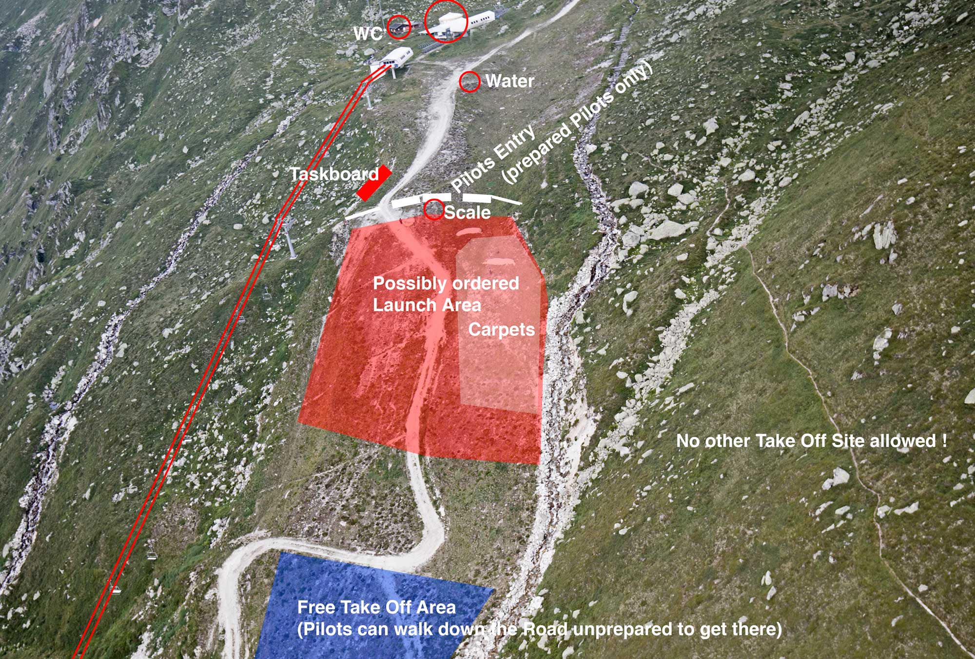
(click to enlarge)
Main Landing Area L01

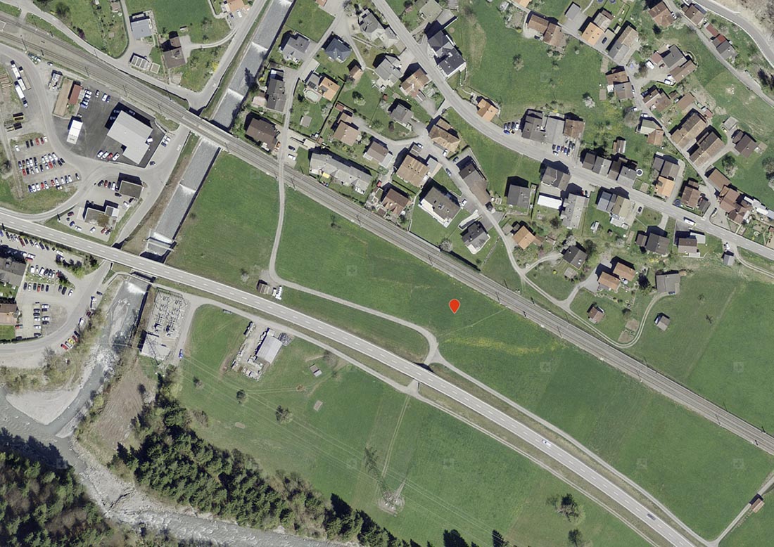
Landing Area L02 Trun
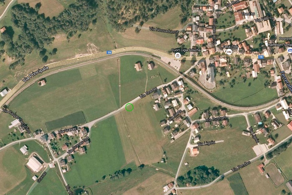
Landing Area L23 Ilanz

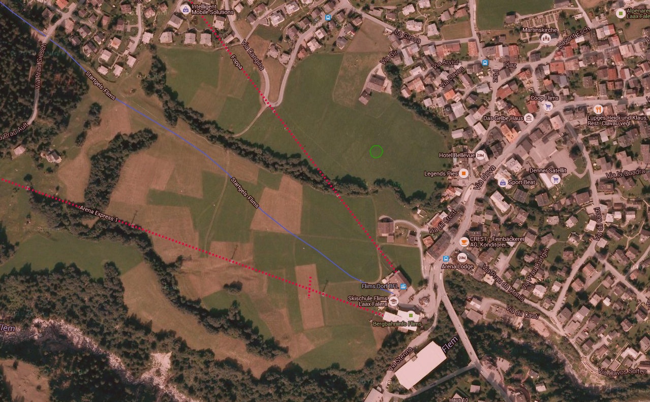
Landing Area L20 Flims
Landing Area L30 Schiers